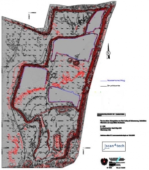
Maps and Draws
This way an immediate completeness check can be done one site, and if needed, additional scan positions can be added.
It is easy to connect the data to an existing coordinate system.
The System can be scaled up and down depending on the requirements. The captured point density can be adjusted from one point per mm to one point per m. The scan range is between 1m and up to 1 km under perfect conditions.